
Drones & Geographic Information Systems
Drones
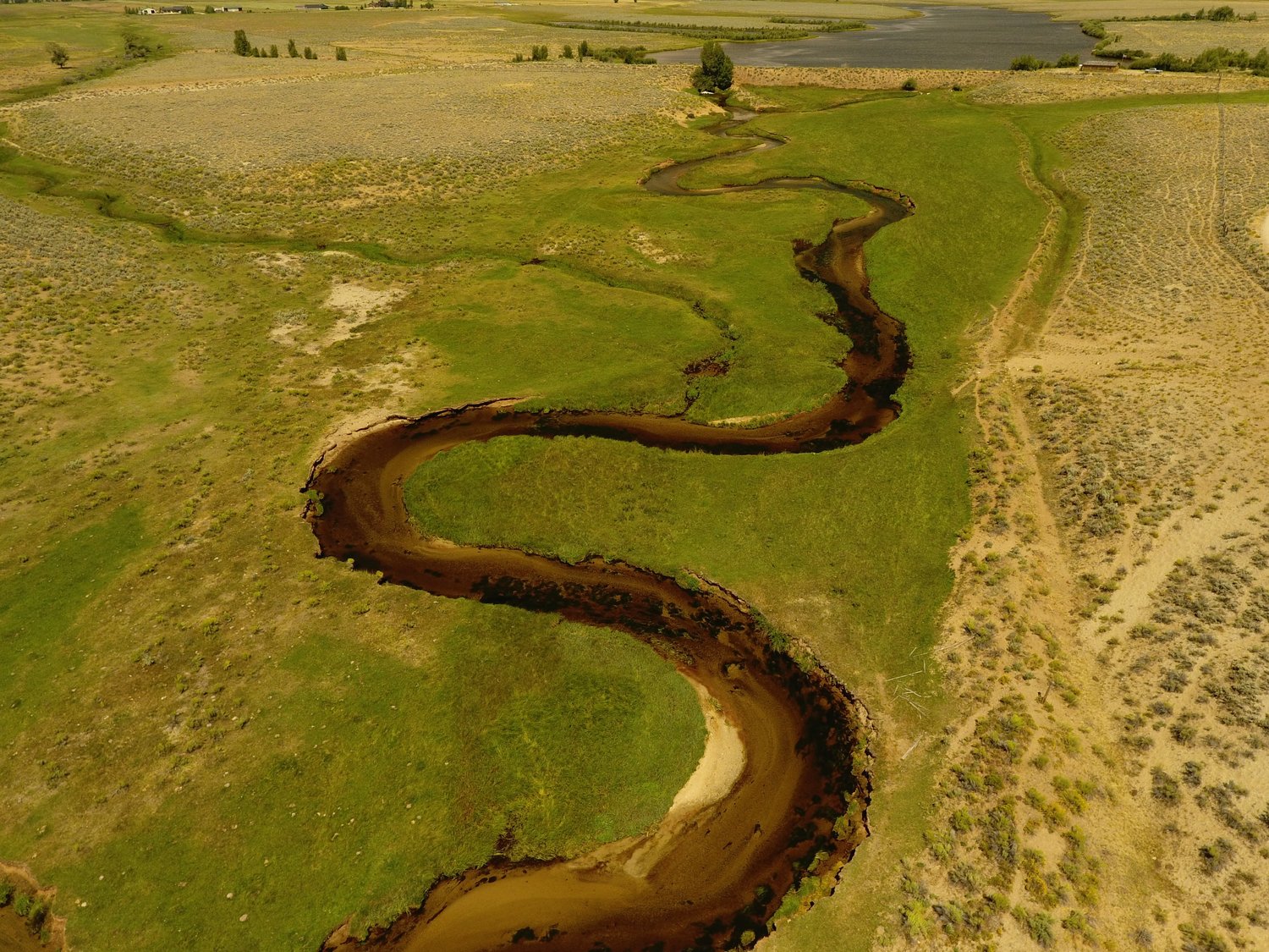
2DOT utilizes Drones (UAV) for many applications. We capture aerial imagery to process, manage, store, manipulate, analyze, and present all types of geographically-defined data and metadata. UAVs offer a cost and time effective solution and incorporates a variety of processes to efficiently input new data, or migrate existing data, into our GIS Systems. Our staff has tremendous experience with the technologies and concepts that allow us to provide optimal solutions related to data integration, data analysis, mapping, and all facets of GIS application for every industry.
2DOT uses its UAV imagery to provide orthorectified, high resolution imagery and 20+ megapixel stills. UAV imagery integrated with GIS analysis can provide percent coverage, volume, and area calculations as well as georeferenced 2D maps and 3D models for the following industries.
Drone Services
- Aerial imagery
- Stormwater inspections
- BMP inspections
- Habitat assessments
- Noxious weed mapping
- Reclamation monitoring/mapping
- Due Diligence mapping
- Land use mapping
- GIS mapping
- Construction mapping/monitoring
- Insurance
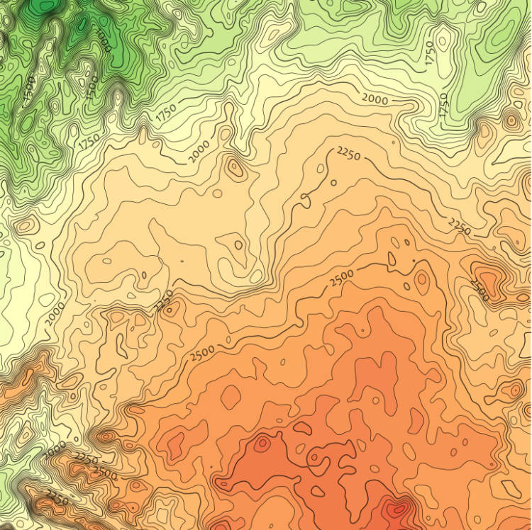
Geographic Information Systems
GIS analysis and mapping provide the platform for virtually all of 2DOT’s natural resource investigations. Our experienced GIS team provides efficient and effective approaches to managing and presenting desktop and field data to suit the simplest, or most sophisticated, applications.
GIS Services
- Data management
- Resource analysis and mapping
- Industrial siting assessments
- Right of way investigations
- Integrated services with Drone data
Request Services
TWO DOT CONSULTING | 7674 Grandview Avenue Suite 210 | Arvada CO, 80002 | 303-408-9481